Description
Philip Kenrick, with a contribution by Ahmed Buzaian (2013).
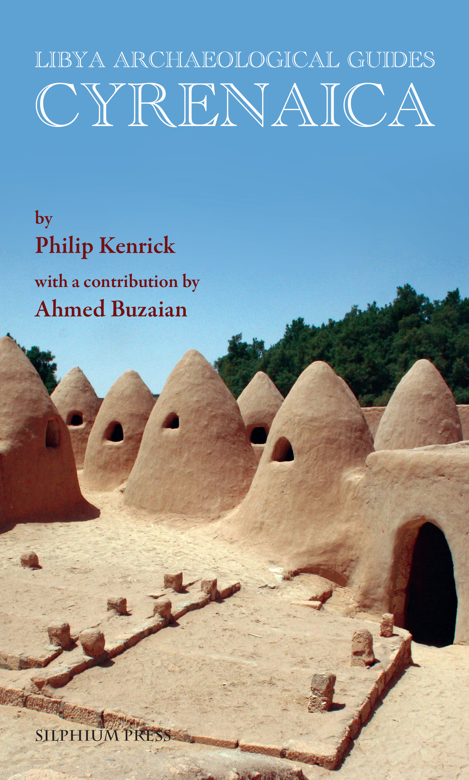
This is the second volume in this series, which was launched to great acclaim in 2009. Cyrenaica (known to the Arabs as the Jabal Akhdar, the Green Mountain) has a terrain which resembles that of Greece or western Turkey. It was settled at an early date by Greeks and subsequently was part of the Roman and Byzantine empires before the advent of the Arabs. Each of these civilisations has left its mark on the landscape, not only at the locations of the major cities on the coast, but also at a host of lesser towns and villages whose ruins still dot the countryside. All are described and explained in a comprehensive gazetteer.
– Historical background, from prehistory until the Italian invasion in 1911
– Regional maps, site plans, drawings and reconstructions of individual buildings
– Museum layout plans and guides to displays
– Navigating instructions, with GPS coordinates for most sites
– Lavish photography in colour
“Based on a long and deep personal knowledge of the region, and drawing on a vast array of archaeological scholarship, Philip Kenrick’s Cyrenaica is the first and only guidebook to bring these sites together in an accessible format, clearly described and illustrated, with information on how to find them. The illustrations are a particular delight – the plans have all been specially drawn for this volume, and indeed for many sites they are the only plans available. This is an indispensable guide for any visitor to Libya, and also an impressive and highly readable work of scholarship which any student of Cyrenaica’s extraordinary archaeological heritage must have.” Andrew Wilson, Professor of the Archaeology of the Roman Empire, University of Oxford.


